Home
Pro Tips
SmartGrade Excavator
SmartGrade Dozer/Grader
Leica MC1 Dozer/Grader
Leica MC1 Paving
Leica MC1 Excavator
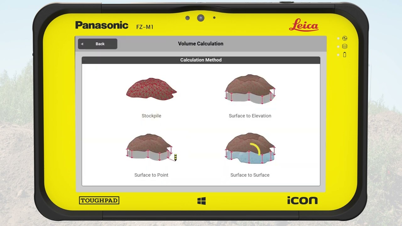
Leica iCON Site
Downloads & Manuals
More